Vilyuy Ultradistancia
Agua del Toro Ultradistancia
Tsimlyansk Ultradistancia
Amistad Ultradistancia
Bratsk Ultradistancia
Alicura Ultradistancia
Lac Mai Ultradistancia
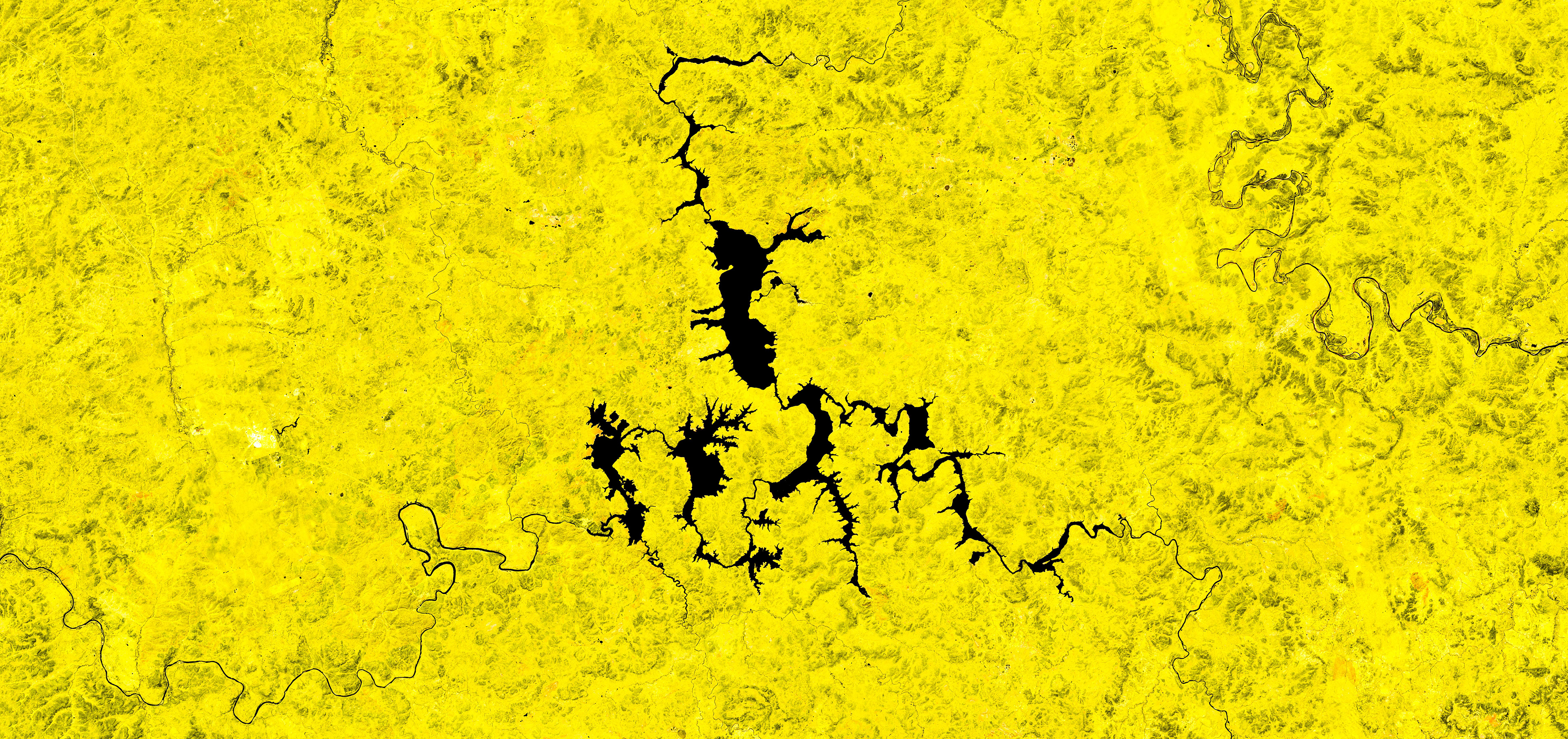
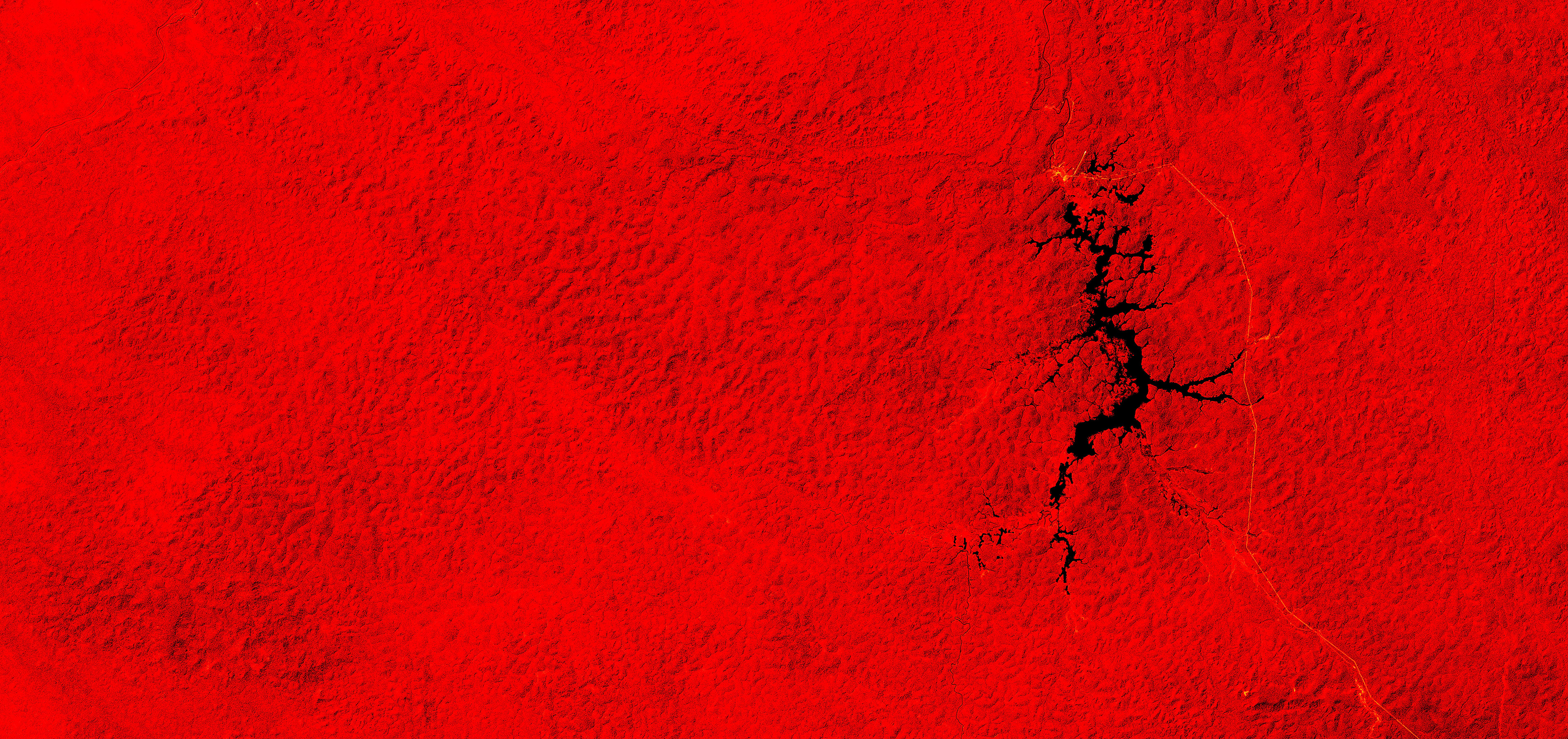
Serra da Mesa

Corumba Ultradistancia
Fort Peck Ultradistancia
Oahe Ultradistancia
Longyangxia Ultradistancia
Netzahualcoyotl Malpaso Ultradistancia
Zeiskoye Ultradistancia
Pitinga Ultradistancia

Presa Falcon Ultradistancia